Sitakunda Atlas : Building Resilience Through Alternative Climate Education (on going)
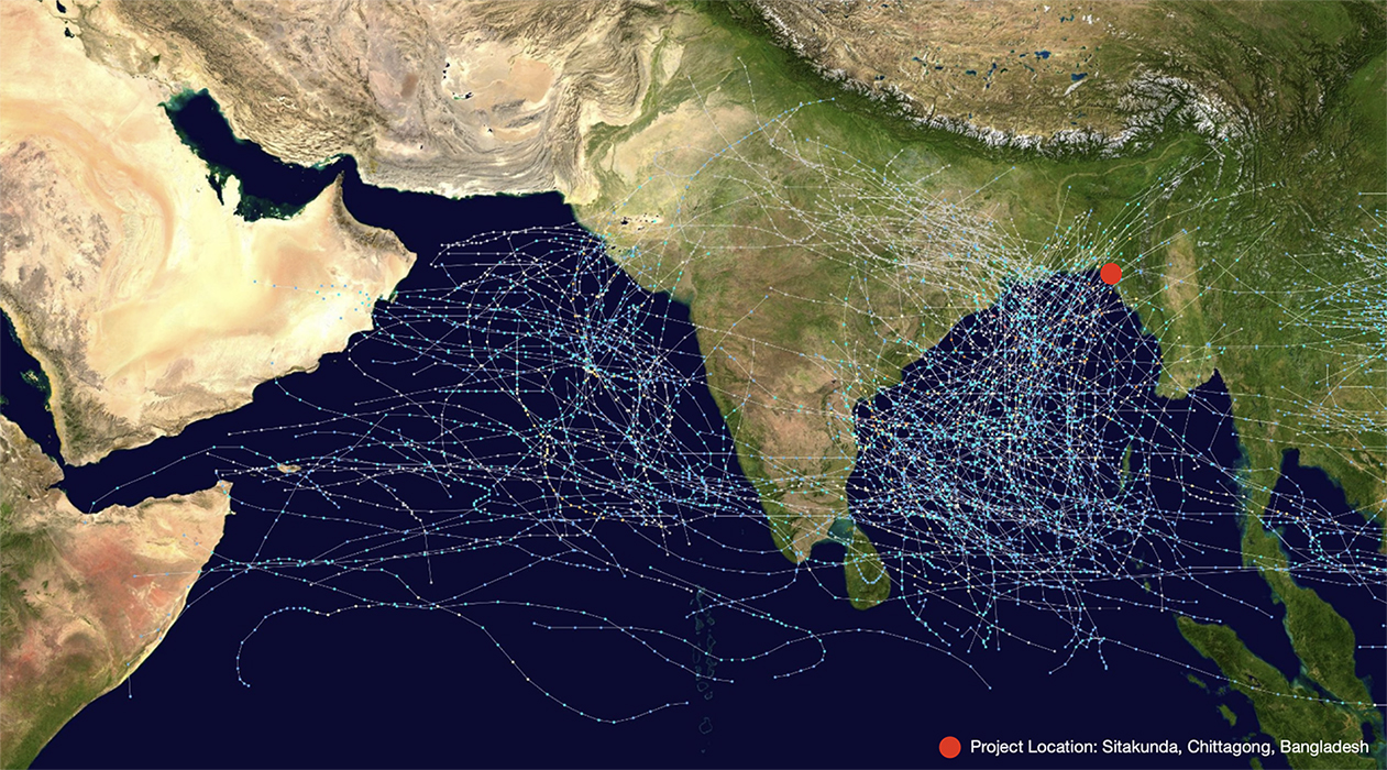
Cumulative track map of all North Indian Ocean cyclones from 1970 to 2005.
Source: Tracking data – Joint Typhoon Warning Center (JTWC); Background image – National Aeronautics and Space Administration (NASA).
“Sitakunda Atlas” is a learning initiative that empowers young people on Bangladesh’s vulnerable coastline to understand their changing environment through a multidisciplinary, hands-on curriculum that combines environmental science, satellite data interpretation, community mapping, and visual storytelling.
This project aims to contribute to a broader transformation in climate education by addressing the critical gaps in Bangladesh’s Secondary School Certificate (SSC) system, where climate knowledge often remains abstract and disconnected from local realities. Despite widespread awareness of climate change, many students lack a clear understanding of its causes and impacts due to limited teacher training and rote-based curricula.
Through different visual storytelling techniques, this project offers a practical model for reform. The structured workshop curriculum demonstrate how creative, locally grounded learning can strengthen national climate literacy and resilience—helping to shape a future education system that is both adaptive and inspiring for young learners in vulnerable regions.
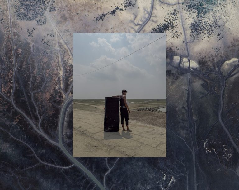
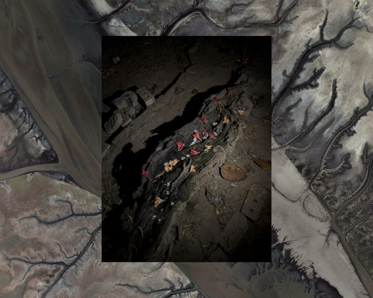
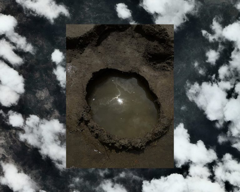
The following body of work is a significant part of the visual storytelling curriculum.