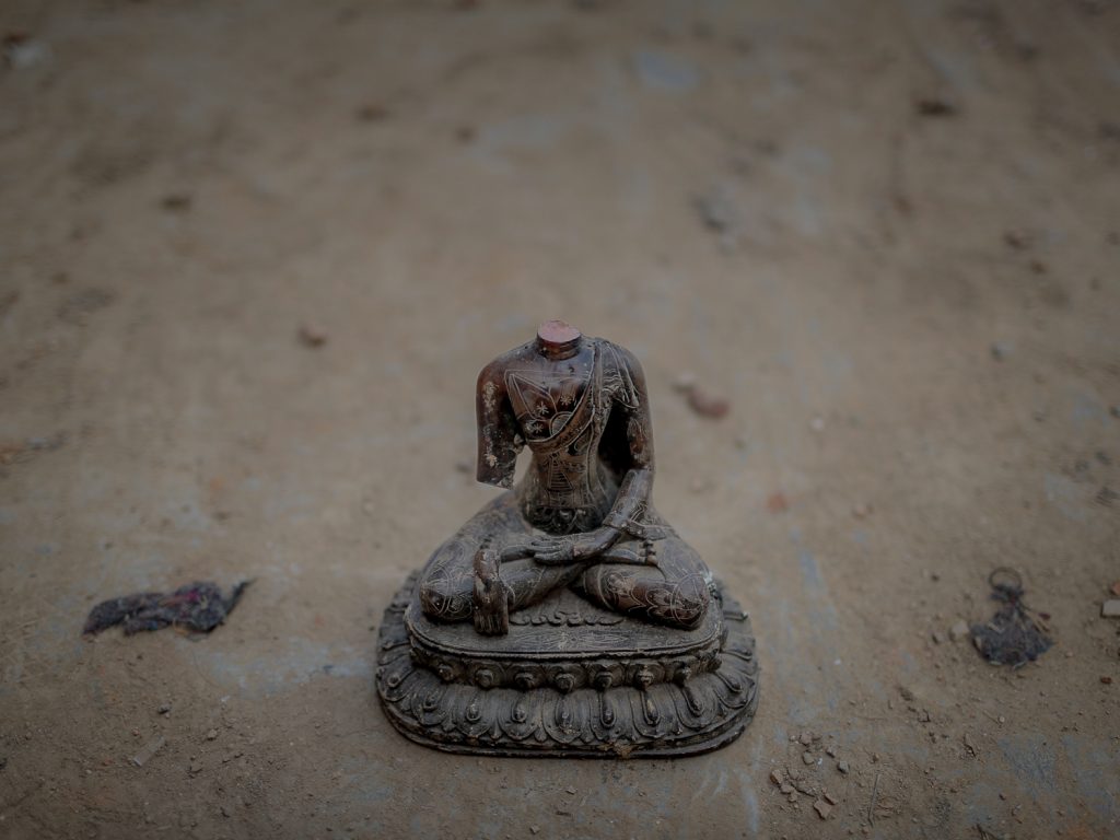
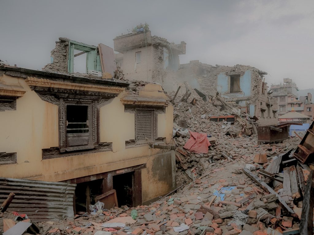
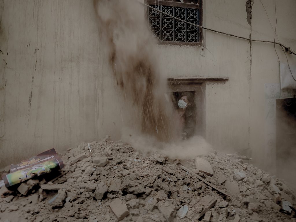
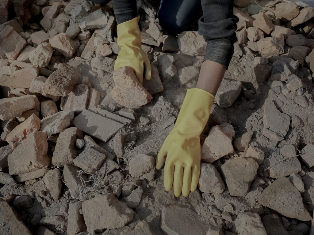
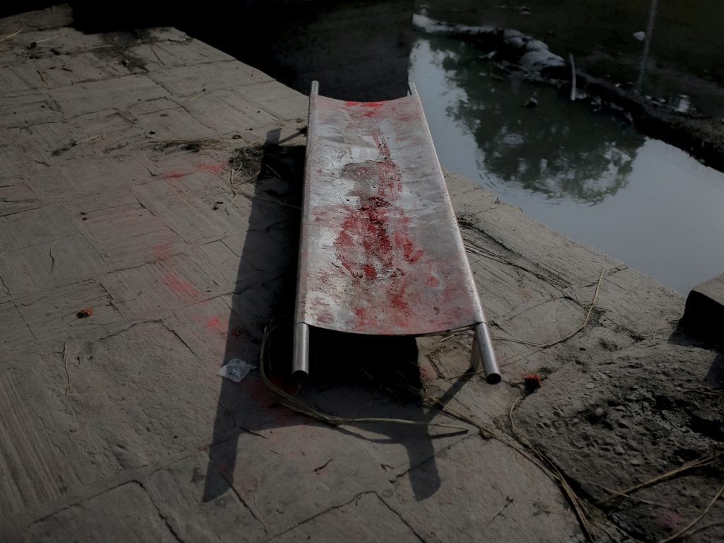
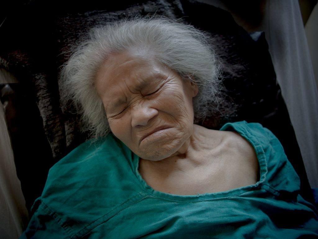
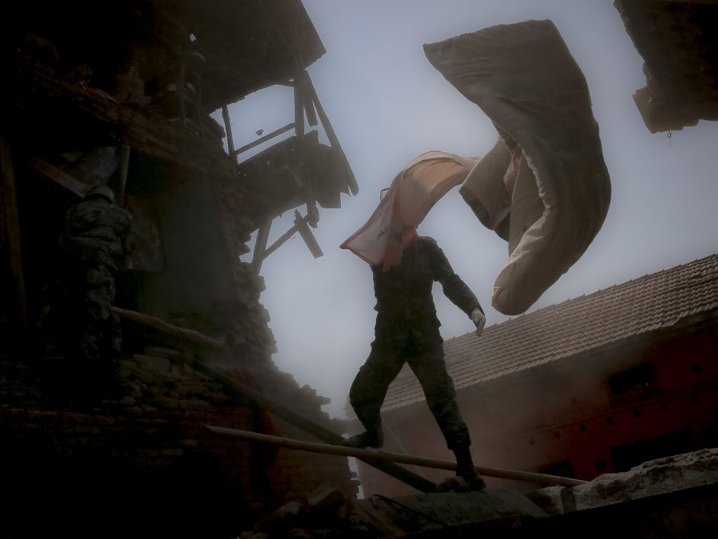
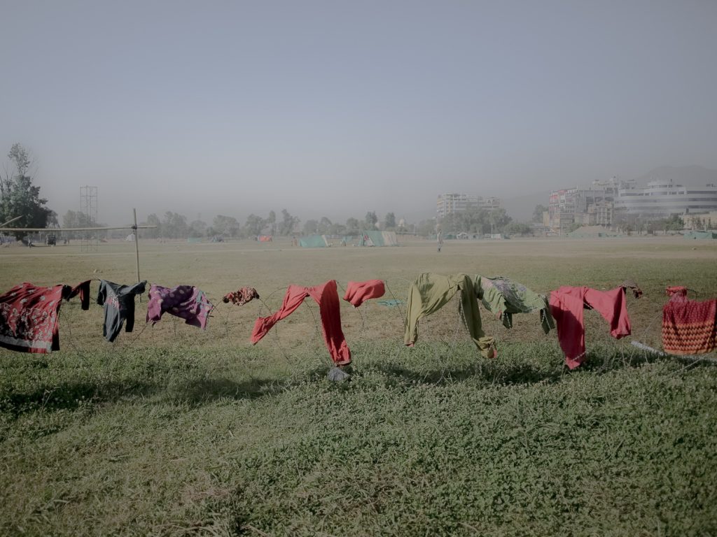
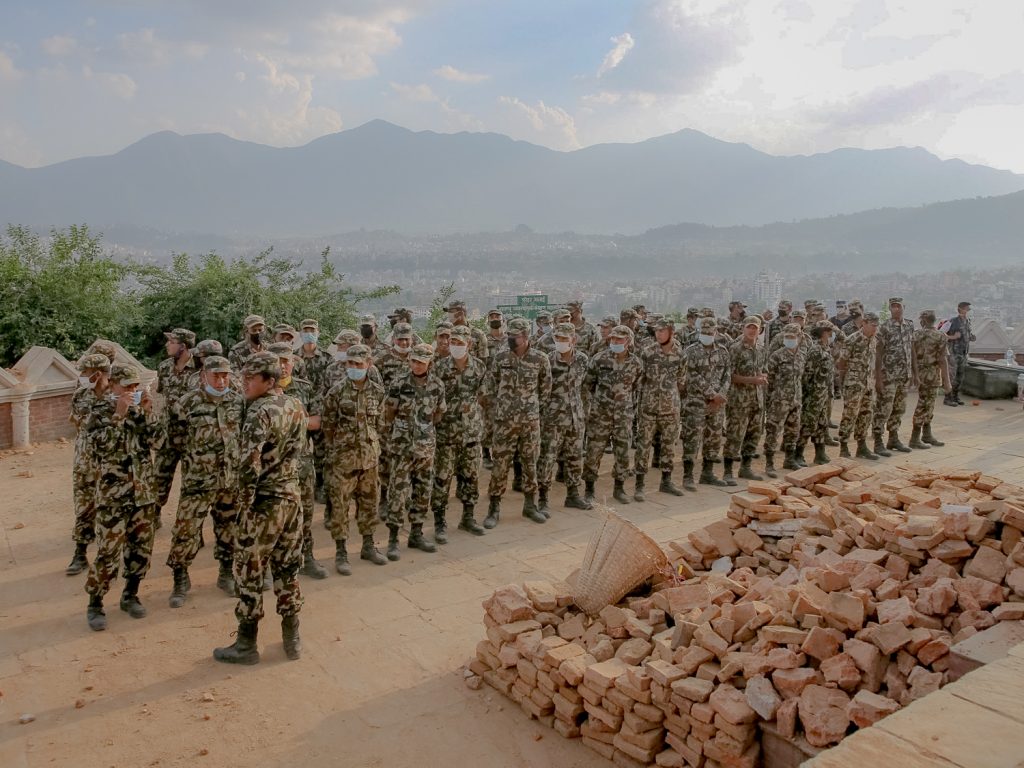
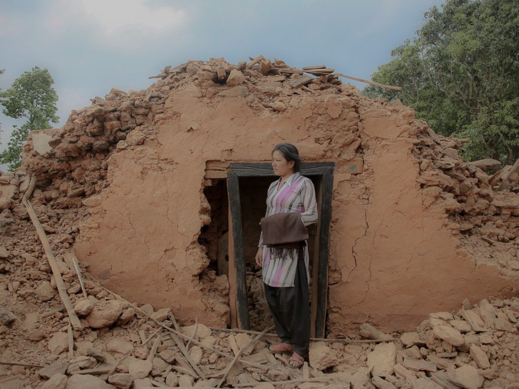
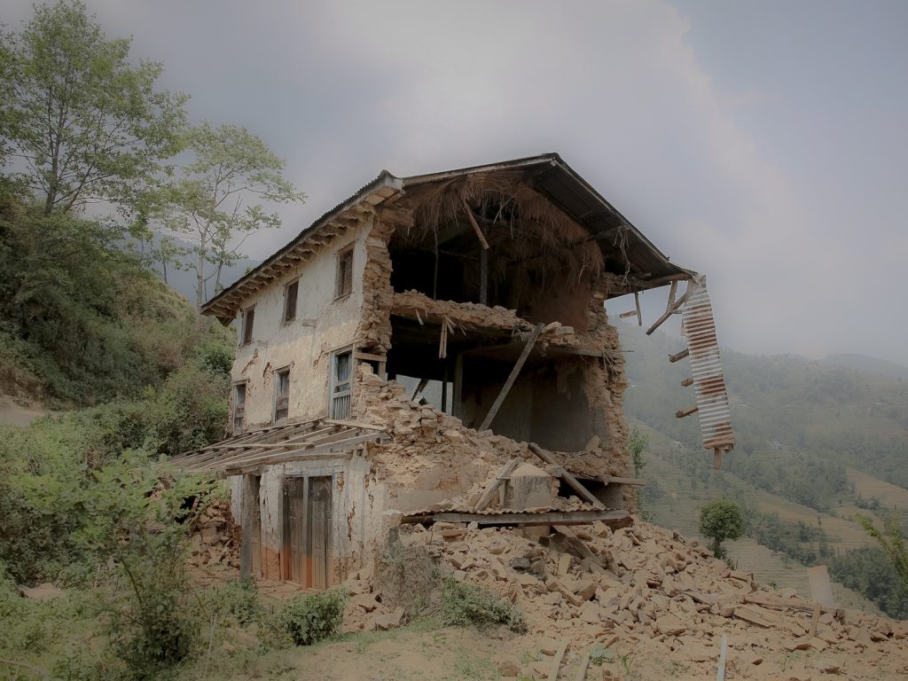
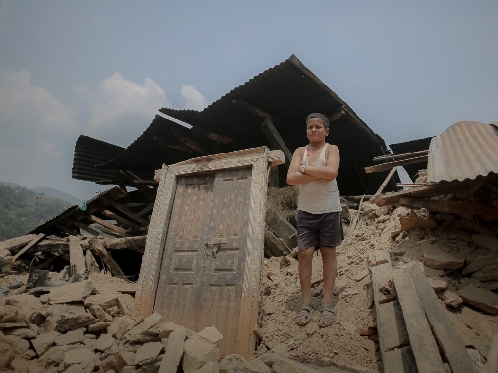
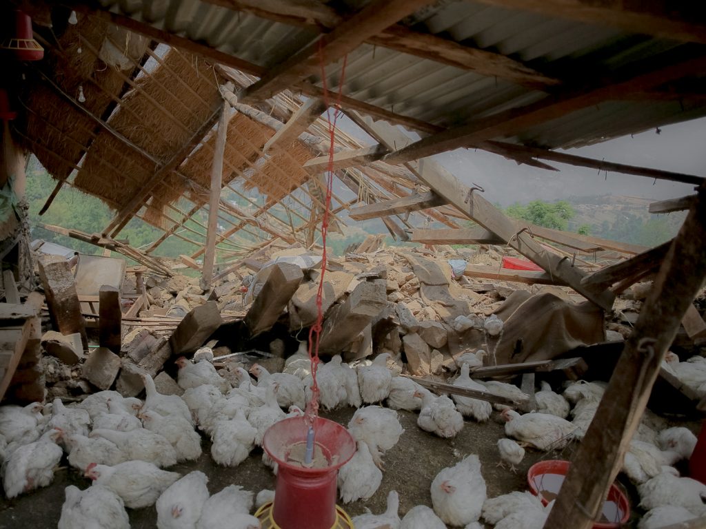
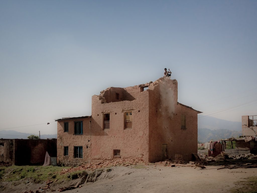
On Saturday, 25 April 2015, a 7.8 magnitude earthquake struck an area between the Nepal’s capital, Kathmandu, and the city of Pokhara, according to the US Geological Survey . Nepal had not faced a natural shock of comparable magnitude for over 80 years. The catastrophic earthquake was followed by more than 300 aftershocks greater than magnitude 4.0(as of 7 June 2015). Four aftershocks were greater than magnitude 6.0, including one measuring 6.8 which struck 17 days after the first big one with the epicenter near Mount Everest. According to the survey of UNHCR, the number of people killed 8,702 and injured 22,493. Thirty-one of the country’s 75 districts have been affected because of this deadly earthquake. The destruction was widespread covering residential and government buildings, heritage sites, schools and health posts, rural roads, bridges, water supply systems, agricultural land, trekking routes, hydropower plants etc. Rural areas in the central and western regions were particularly devastated and further isolated due to road damage and obstructions. In the worst hit areas, entire settlements, were swept away by landslides and avalanches triggered by the earthquakes. Due to the weakened, ruptured, and destabilized slopes and surfaces, the vulnerable areas have now become even more susceptible to flooding and landslides that can occur during the upcoming monsoon. Hundreds of historical and cultural monuments at least a century old were either destroyed or extensively damaged. Over half a million houses were destroyed.